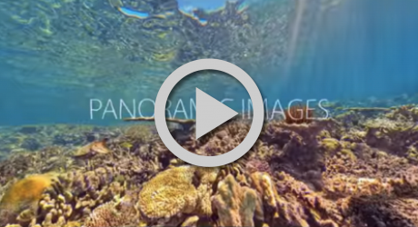
360Cities' unparalleled, worldwide community of expert VR photographers are now producing great 360° video. See for yourself:


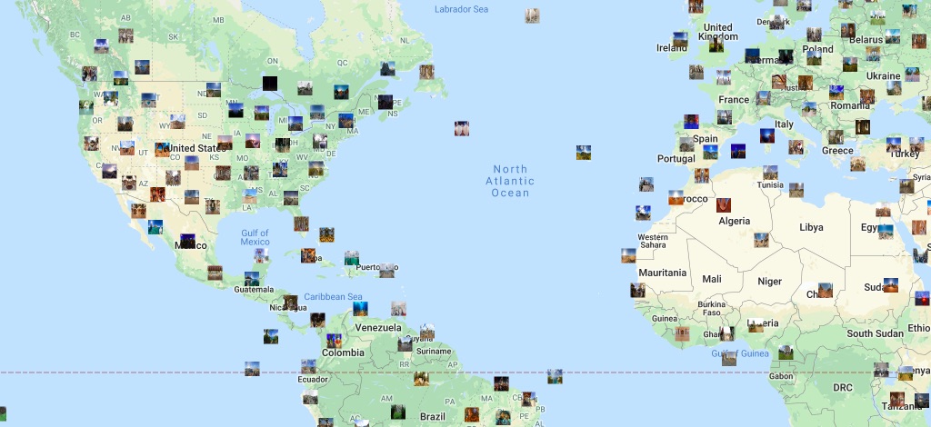
Join a growing number of companies creating compelling audience experiences through the use of high quality 360° photos and videos from our unique collection.
We recognize those 360º contributors who have stood out in the 360º community each month.
In March, Saša published 14 panoramas and 36 360º videos. From walking tours of historic cities like Vienna and Szentendre to architectural wonders like Schönbrunn Palace and Buda Castle.
Maxim published 20 panoramas in March, each showcasing Kiev’s architectural landmarks and historic sites. From the Church of Mykola Naberezhny to the serene Ascension Florovsky Convent and the intricate St. Cyril’s Church, his panoramas offer a glimpse into the cultural treasures of Ukraine’s capital city.
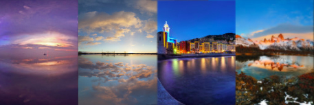
See the incredible world in which we live without having to leave your chair.