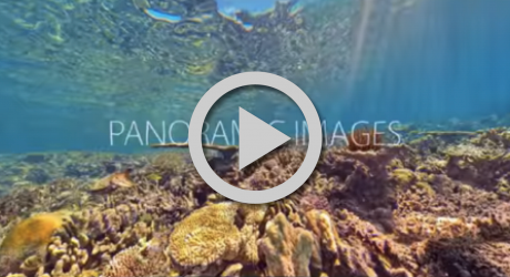
360Cities' unparalleled, worldwide community of expert VR photographers are now producing great 360° video. See for yourself:

Join a growing number of companies creating compelling audience experiences through the use of high quality 360° photos and videos from our unique collection.
We recognize those 360º contributors who have stood out in the 360º community each month.

During the month of April, 187 of his panoramas were selected for display on 360Cities. From the historic streets of Ávila to the serene vistas of Gredos Navarredonda, José's lens transports viewers to the heart of Spain's breathtaking landscapes.

During the month of April, Z1b shared panoramic vistas from the far reaches of Russia, transporting us to the serene beauty of Belogorka Sokuluk river gorge and the rugged landscapes of Ak-Suu Dzhartash stream gorge.
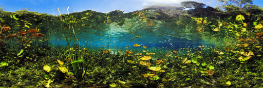
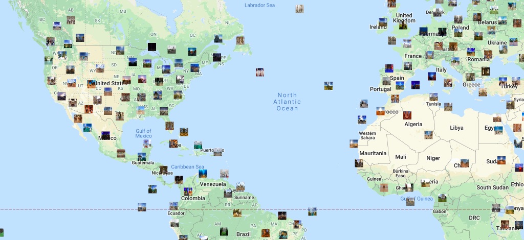
See the incredible world in which we live without having to leave your chair.