Toggle navigation
Search
Search
Sign In / Sign Up
Sign In
New Account / View Pricing
Explore
360° Video Gallery
World Map
Editors' Picks
Gigapixels
360° Stereoscopic Panoramas
Learn
CONTRIBUTE
LICENSE
EARN $ FROM YOUR WORK
FREE RESEARCH
Explore
360° Video Gallery
Gigapixel Gallery
Curated Sets
World Map
360° Stereoscopic
Editors' Picks
More
Learn
CONTRIBUTE
LICENSE
EARN $ FROM YOUR WORK
FREE RESEARCH
Sign up/Sign in
Sign in
Get a new Contributor Account
Get a new Licensing Customer Account
Newsletter
×
Lightboxes
Copy
Create New Lightbox
This Lightbox is empty
×
Saved!
Search Results for @author juergen matern
Keywords
Location
Contributor
Show only licensable content
Show live previews
Search
Keyword Tip: Use quotation marks ("Golden Gate Bridge") to search for an exact phrase.
More tips
.
Panoramas (475)
Videos (2)
Contributors (11)
William L
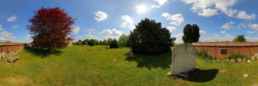
Hemingway Memorial
20756 x 10378
Burkhard Koerner
St.-Juergen Church
8996 x 4498
Joby Catto
Sylvia Plath’s grave at Heptonstall, near Hebden Bridge
6432 x 3216
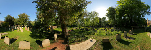
William L
Ernest Hemingway grave - Ketchum Cemetery
20756 x 10378
John Gore
Alan Paton's Study in Pietermaritzburg
14264 x 7132
Dashkov Vladimir
N.Ostrovskomu's monument
11748 x 5874
Peter Pook
Juergen Goertz's Skulptur 'Turm der Grauen Pferde', Bietigheim-Bissingen. By Peter Pook
10212 x 5106
William L
Agatha Christie grave
20756 x 10378
Miroslav Olesnanik
Lomnický štít 2 a autor
9808 x 4904
William L
C.S. Lewis grave
20756 x 10378
Valentin Arfire
Marcus Juergen presentation - Panotools 2011 August 2nd
10780 x 5390
Valentin Arfire
August 2nd - Juergen Schraeder presentation at Panotools 2011
11296 x 5648
Ernst Michalek
Panotools Meeting 2011 - Session of the "Panotwins" Jürgen & Markus Matern
8000 x 4000
Piotr Rymer
Pope John Paul II sculpture, autor Jacek Osadczuk
8000 x 4000
Randy Kasal
Mihail Sadoveanu Museum / Muzeul Mihail Sadoveanu. Iasi, Romania.
30000 x 15000
James Womack
Gravesite of "Gone with the Wind" Author Margaret Mitchell, Oakland Cemetary
4000 x 2000
Francesco Favalesi
Mostra fotografica VILLAGGI TRIBALI del Bangladesh - Autore Oliviero MASSEROLI
13058 x 6529
Valentin Arfire
Spring is near in Christchurch park - a tribute to Juergen
12276 x 6138
Francesco Favalesi
Mostra fotografica I VILLAGGI TRIBALI del Bangladesh - Autore Oliviero MASSEROLI
13094 x 6547
M.J.Lorek
Stevns Fyr Gallery
10760 x 5380
M.J.Lorek
H.C.Andersens House, Odense
13016 x 6508
Pete Babij
2017.07.01 Lincoln and the Common Man Statues
29900 x 14950
M.J.Lorek
Kamienna Gora , Winter view
13064 x 6532
William L
Five Mile Drive Park (aerial)
18800 x 9400
← Previous
-
1
-
2
-
3
-
4
-
5
-
6
-
7
-
8
-
9
-
…
-
19
-
20
-
Next →
Cookies help us deliver great service to you. By using this site, you agree to the use of cookies.
OK
Leave this Site