Toggle navigation
Search
Search
ログイン / 参加
ログイン
New Account / View Pricing
さらなる探求
360° Video Gallery
世界地図
編集者のお勧め
ギガピクセル
360° Stereoscopic Panoramas
Learn
CONTRIBUTE
LICENSE
EARN $ FROM YOUR WORK
FREE RESEARCH
さらなる探求
360° Video Gallery
Gigapixel Gallery
Curated Sets
世界地図
360° Stereoscopic
編集者のおすすめ
More
Learn
CONTRIBUTE
LICENSE
EARN $ FROM YOUR WORK
FREE RESEARCH
参加/ログイン
ログイン
Get a new Contributor Account
Get a new Licensing Customer Account
Newsletter
×
Lightboxes
Copy
Create New Lightbox
This Lightbox is empty
×
Saved!
Search Results for @tags @tags aerial
Keywords
Location
Contributor
Show only licensable content
Show live previews
Search
Keyword Tip: Use quotation marks ("Golden Gate Bridge") to search for an exact phrase.
More tips
.
パノラマ (+10000)
Videos (1181)
Contributors (8)
Saša Stojanović
Požarevac -aerial-
18786 x 9393
William L
Laramie (aerial)
18800 x 9400
William L
Buford (aerial)
18800 x 9400
Andrew Bodrov
Mars Panorama - Curiosity rover: Martian solar day 673
30000 x 15000
Andrew Bodrov
Mars Panorama - Curiosity rover: Martian solar day 868
30000 x 15000
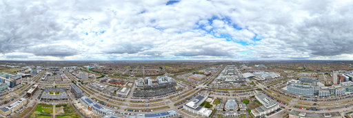
Billy Yuen
Aerial View of the Royal Air Force Museum, London, England
12000 x 6000
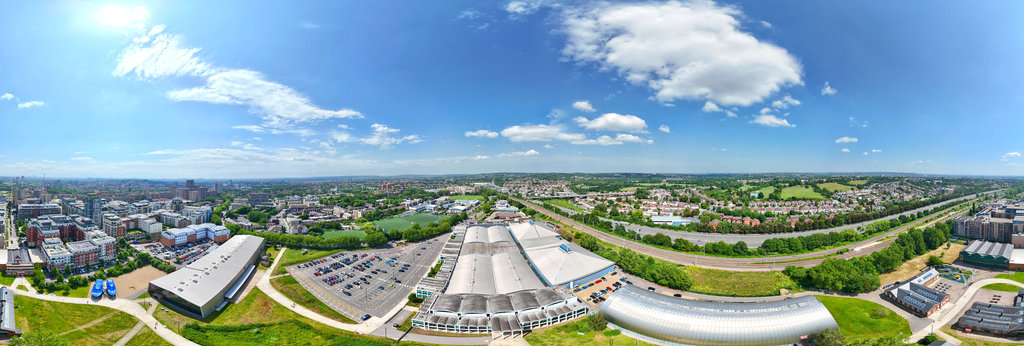
Billy Yuen
Aerial view above Bleak Hall Recycling Centre, Milton Keynes, England
12000 x 6000
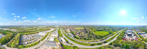
Billy Yuen
Aerial view above Fred Roche Gardens, Central Milton Keynes, England
12000 x 6000
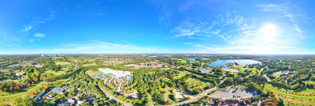
Billy Yuen
Aerial view above Gulliver's Land Theme Park, Milton Keynes, England
12000 x 6000
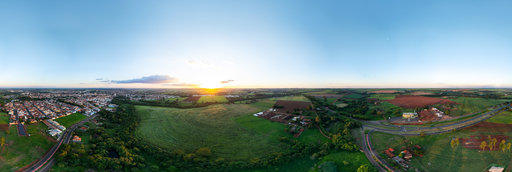
Jose Renato Slompo
360 Equirectangular Aerial Panorama of Bariri, SP, Brazil, at Sunset
17000 x 8500
Jean-Paul Gammal
Doel 1
12866 x 6433
Jean-Paul Gammal
Doel 2
11258 x 5629
Jean-Paul Gammal
Doel 4
11258 x 5629
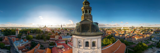
Andrew Bodrov
Niguliste Church (Tallinn, Estonia)
50000 x 25000
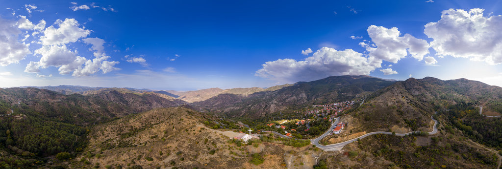
Andrew Bodrov
Above the Chapel of the Holy Cross, Pedoulas (Cyprus)
32000 x 16000
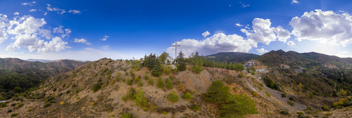
Andrew Bodrov
Chapel Of The Holy Cross, Pedoulas (Cyprus)
32000 x 16000
Andrew Bodrov
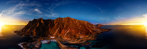
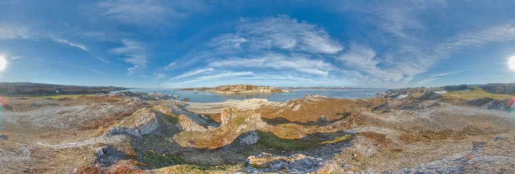
Coastal Mountains of Børra
30000 x 15000
Bruno Keiser
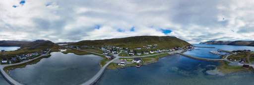
Skarsvag, Norway
9564 x 4782
Bruno Keiser
Skarsvag, Norway
9546 x 4773
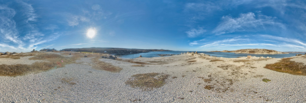
Bruno Keiser
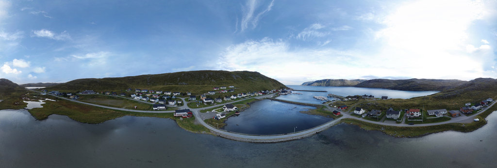
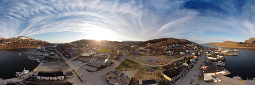
Sunset over Havøysund´s center, Finnmark, Norway
19082 x 9541
Bruno Keiser
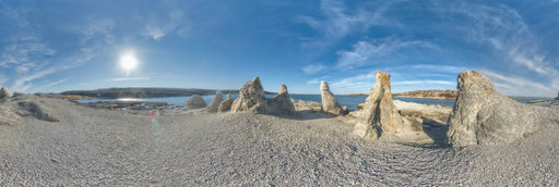
To the trolls, Trollholmsund, Finnmark, Norway
10324 x 5162
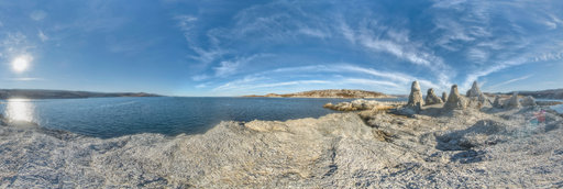
Bruno Keiser
The trolls at Trollholmsund, Finnmark, Norway
10352 x 5176
Bruno Keiser
The trolls at Trollholmsund, Finnmark, Norway
10322 x 5161
Bruno Keiser
To the trolls, Trollholmsund, Finnmark, Norway
10296 x 5148
← Previous
-
1
-
2
-
…
-
69
-
70
-
71
-
72
-
73
-
74
-
75
-
76
-
77
-
…
-
416
-
417
-
Next →
Cookies help us deliver great service to you. By using this site, you agree to the use of cookies.
OK
Leave this Site