Umschalten der Navigation
Search
Search
Einloggen / Neu anmelden
Einloggen
New Account / View Pricing
Erkunden
360° Video Gallery
Weltkarte
Redaktionelle Auswahl
Gigapixel
360° Stereoscopic Panoramas
Learn
CONTRIBUTE
LICENSE
EARN $ FROM YOUR WORK
FREE RESEARCH
Erkunden
360° Video Gallery
Gigapixel Gallery
Curated Sets
Weltkarte
360° Stereoscopic
Panorama-Auswahl
More
Learn
CONTRIBUTE
LICENSE
EARN $ FROM YOUR WORK
FREE RESEARCH
Neu anmelden/Einloggen
Einloggen
Get a new Contributor Account
Erstelle ein neues lizenziertes Kundenkonto
Newsletter
×
Lightboxes
Copy
Create New Lightbox
This Lightbox is empty
×
Saved!
Search Results for @tags @tags aerial
Keywords
Location
Contributor
Show only licensable content
Show live previews
Search
Keyword Tip: Use quotation marks ("Golden Gate Bridge") to search for an exact phrase.
More tips
.
Panoramen (+10000)
Videos (1181)
Contributors (8)
Robert Prior
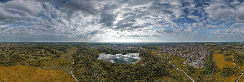
Oak Ridges Corridor Conservation Reserve I (Arran LUT)
18000 x 9000
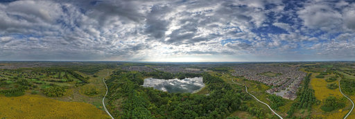
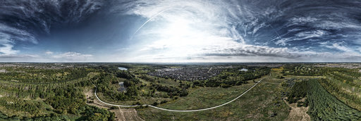
Robert Prior
Oak Ridges Corridor Conservation Reserve I
18000 x 9000
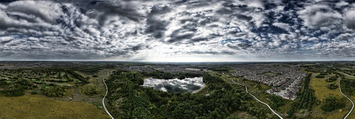
Robert Prior
Oak Ridges Corridor Conservation Reserve I (Bleach Bypass)
18000 x 9000
Robert Prior
Oak Ridges Corridor Conservation Reserve III (Arran LUT)
18000 x 9000
Robert Prior
Oak Ridges Corridor Conservation Reserve III (Bleach Bypass)
18000 x 9000
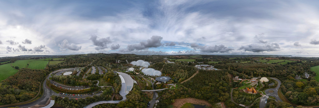
Gabor Varga
Above the Eden Project
26924 x 13462
Robert Prior
Over Skwetu Avenue in Wilson Creek, British Columbia (Braemar LUT)
18000 x 9000
Robert Prior
Over Site of a New Development in ts'uḵw'um, British Columbia (Braemar LUT)
18000 x 9000
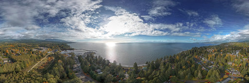
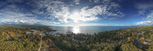
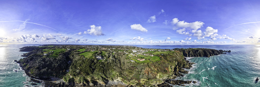
Burger Tron
Moulin Huet Bay, Guernsey
16384 x 8192
Robert Prior
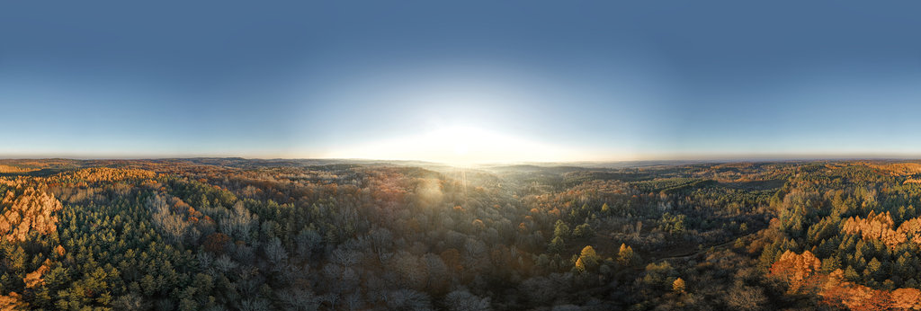
Dawn Over Golden Tamaracks
25000 x 12500
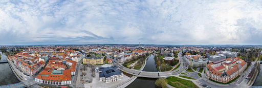
Jindrich Cermak
Above the riverside the Center of České Budějovice, Czech Republic
18226 x 9113
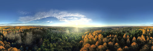
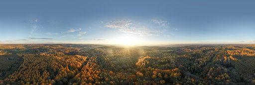
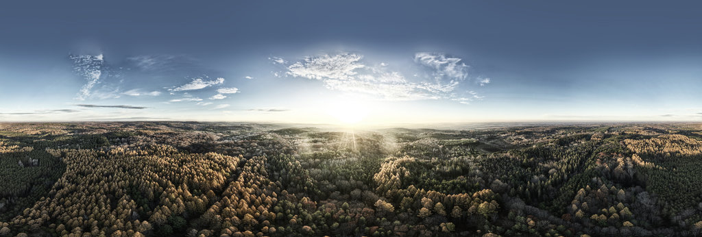
Robert Prior
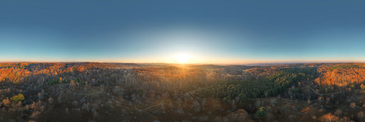
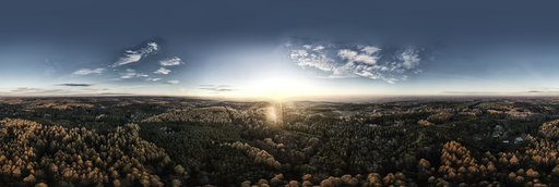
Sunrise Over Late Autumn Woodland
25000 x 12500
Robert Prior
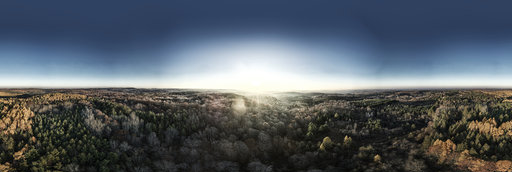
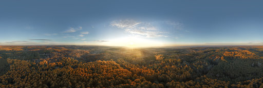
Sunrise Over Late Autumn Woodland (Arran LUT)
25000 x 12500
Robert Prior
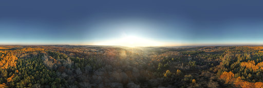
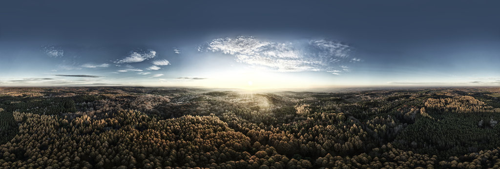
Sunrise Over Late Autumn Woodland (Braemar LUT)
25000 x 12500
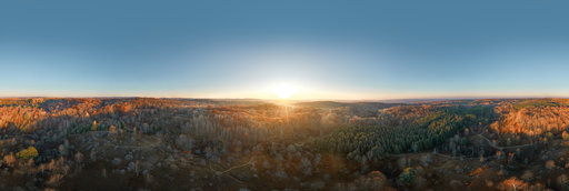
Robert Prior
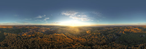
Dawn Over Secondary Forest in Southern Ontario (Arran LUT)
25000 x 12500
Robert Prior
Dawn Over Secondary Forest in Southern Ontario (Bleach Bypass)
25000 x 12500
Robert Prior
Dawn Over Secondary Forest in Southern Ontario (Braemar LUT)
25000 x 12500
Robert Prior
Sunrise Over Tamarack Plantation (Arran LUT)
25000 x 12500
Robert Prior
Sunrise Over Tamarack Plantation (Bleach Bypass)
25000 x 12500
Robert Prior
Sunrise Over Golden Tamarack Plantation (Arran LUT)
25000 x 12500
Robert Prior
Sunrise Over Golden Tamarack Plantation (Bleach Bypass)
25000 x 12500
Robert Prior
Sunrise Over Golden Tamarack Plantation (Braemar LUT)
25000 x 12500
Robert Prior
Dawn Over Yellow Tamaracks (Arran LUT)
25000 x 12500
Robert Prior
Dawn Over Yellow Tamaracks (Bleach Bypass)
25000 x 12500
← Previous
-
1
-
2
-
…
-
70
-
71
-
72
-
73
-
74
-
75
-
76
-
77
-
78
-
…
-
416
-
417
-
Next →
Cookies help us deliver great service to you. By using this site, you agree to the use of cookies.
OK
Leave this Site