Umschalten der Navigation
Search
Search
Einloggen / Neu anmelden
Einloggen
New Account / View Pricing
Erkunden
360° Video Gallery
Weltkarte
Redaktionelle Auswahl
Gigapixel
360° Stereoscopic Panoramas
Learn
CONTRIBUTE
LICENSE
EARN $ FROM YOUR WORK
FREE RESEARCH
Erkunden
360° Video Gallery
Gigapixel Gallery
Curated Sets
Weltkarte
360° Stereoscopic
Panorama-Auswahl
More
Learn
CONTRIBUTE
LICENSE
EARN $ FROM YOUR WORK
FREE RESEARCH
Neu anmelden/Einloggen
Einloggen
Get a new Contributor Account
Erstelle ein neues lizenziertes Kundenkonto
Newsletter
×
Lightboxes
Copy
Create New Lightbox
This Lightbox is empty
×
Saved!
Search Results for @tags mount shasta
Keywords
Location
Contributor
Show only licensable content
Show live previews
Search
Keyword Tip: Use quotation marks ("Golden Gate Bridge") to search for an exact phrase.
More tips
.
Panoramen (5409)
Videos (92)
Contributors (0)
William L
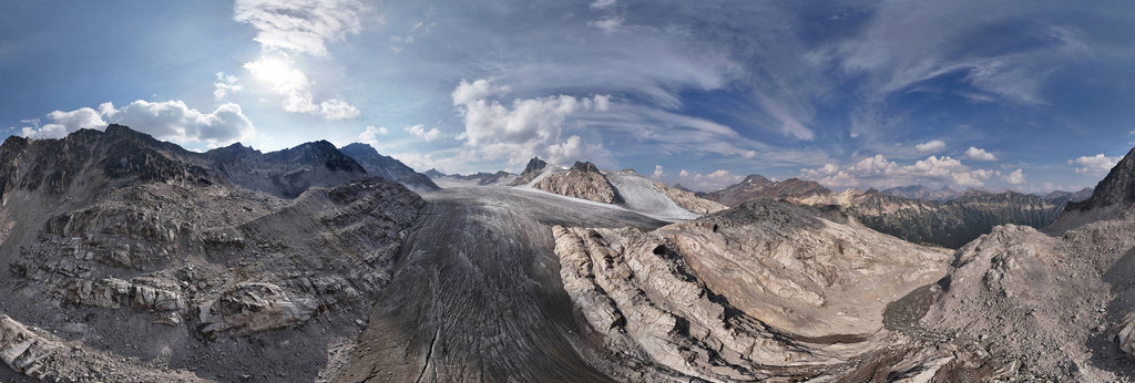
Catamount Glacier terminus (aerial)
18800 x 9400
William L
Girard Ridge Road (aerial)
18800 x 9400
William L
Interstate 5 - Louie Road (aerial)
18800 x 9400
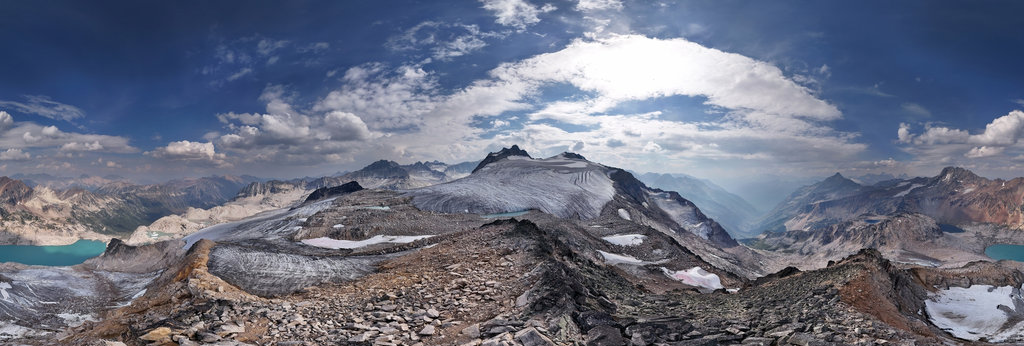
William L
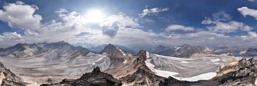
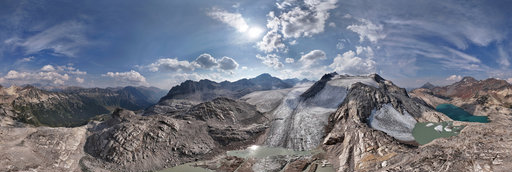
Mt. Griffith (2767m/9078') summit, Purcell Mountains, BC, Canada
20756 x 10378
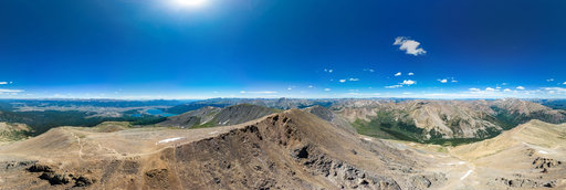
Matthias Weidemann
Mount Elbert (near summit)
17902 x 8951
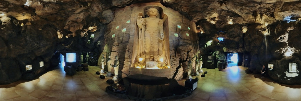
Udo Lenkewicz
The Golden Mount Cave
12000 x 6000
William L
Medicine Lake Glass Flow (aerial)[2]
18800 x 9400
William L
Avalanche Gulch (aerial)
18800 x 9400
William L
Mt. Harmon (2964m/9725') summit
20756 x 10378
William L
Black Fang (3034m/9954') summit
20756 x 10378
William L
Stuart Lake overlook
12804 x 6402
William L
McCloud Limestone strata (aerial)
18800 x 9400
William L
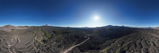
McKenzie Pass (aerial)[1]
18800 x 9400
William L
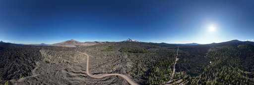
McKenzie Pass (aerial)[2]
18800 x 9400
William L
Bunny Flat (aerial)
18800 x 9400
William L
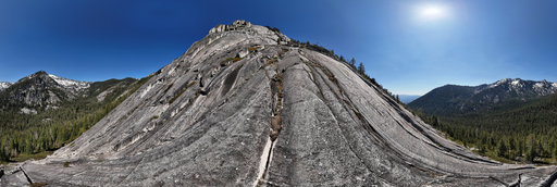
Eaton Peak granite headwall [1]
13200 x 6600
William L
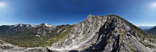
Eaton Peak granite headwall [2]
13200 x 6600
William L
Goosenest (8280'/2524m) summit
20756 x 10378
William L
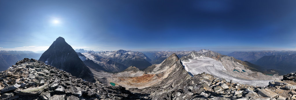
Catamount Glacier calving tarns, Purcell Mountains, BC, Canada (aerial)
18800 x 9400
William L
Pt. 8122' (8122'/2476m) summit
20756 x 10378
William L
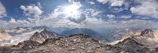
Uto Peak (2927m/9603') summit
20756 x 10378
William L
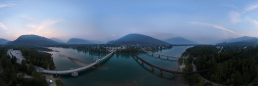
Highway 1 - Columbia River (aerial)
18800 x 9400
William L
Mt. Galloway (2972m/9750') summit
20756 x 10378
William L
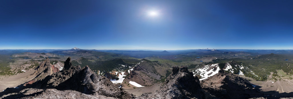
Three Fingered Jack (7841'/2390m) summit
20756 x 10378
← Previous
-
1
-
2
-
3
-
4
-
5
-
6
-
7
-
8
-
9
-
10
-
11
-
…
-
210
-
211
-
Next →
Cookies help us deliver great service to you. By using this site, you agree to the use of cookies.
OK
Leave this Site