Toggle navigation
Search
Search
Sign In / Sign Up
Sign In
New Account / View Pricing
Prozkoumat
360° Video Gallery
Mapa světa
Editors' Picks
Gigapixelové fotky
360° Stereoscopic Panoramas
Learn
CONTRIBUTE
LICENSE
EARN $ FROM YOUR WORK
FREE RESEARCH
Prozkoumat
360° Video Gallery
Gigapixel Gallery
Curated Sets
Mapa světa
360° Stereoscopic
Námi vybrané
More
Learn
CONTRIBUTE
LICENSE
EARN $ FROM YOUR WORK
FREE RESEARCH
Sign up/Sign in
Sign in
Get a new Contributor Account
Get a new Licensing Customer Account
Newsletter
×
Lightboxes
Copy
Create New Lightbox
This Lightbox is empty
×
Saved!
Search Results for @tags mountain loop highway
Keywords
Location
Contributor
Show only licensable content
Show live previews
Search
Keyword Tip: Use quotation marks ("Golden Gate Bridge") to search for an exact phrase.
More tips
.
Fotky (+10000)
Videos (1285)
Contributors (3)
William L
South Stikine Hill brake check
20756 x 10378
William L
Sign Post Forest [5]
20756 x 10378
William L
Elk River (aerial)
18800 x 9400
William L
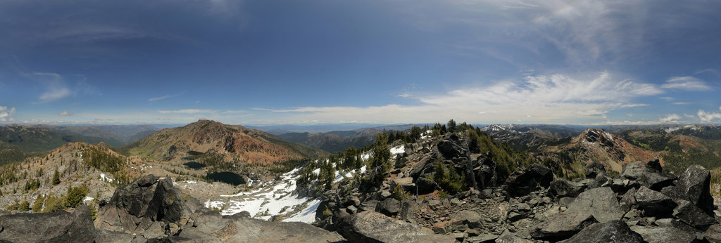
"Dogwood Peak" (7970'/2429m) summit
20756 x 10378
Aleksey Sapizhev
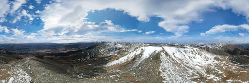
Peak Khulugaishu
8192 x 4096
Aleksey Sapizhev
At the top of Mount Hulugaisha
8192 x 4096
dbortola
Beech clearing on old Mount Tedoldo
8000 x 4000
Carpe Drone
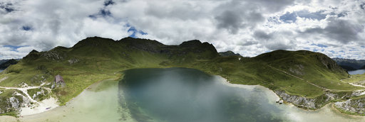
Lago di Tom (cloudy), Switzerland
18000 x 9000
Carpe Drone
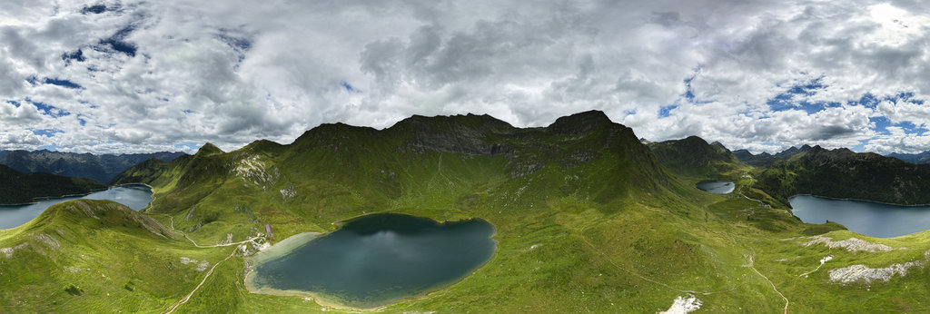
Lago Ritom (cloudy), Switzerland
18000 x 9000
William L
Wells (aerial)
18800 x 9400
William L
Highway 19/Oak Bay Road (aerial)
18800 x 9400
William L
Highway 230 - Rabbit Ears viewpoint (aerial)
18800 x 9400
William L
Dempster Highway - Blackstone River (aerial)[1]
18800 x 9400
William L
Inuvik-Tuktoyaktuk Highway - tundra transition (aerial)
18800 x 9400
William L
Dempster Highway - Blackstone River (aerial)[2]
18800 x 9400
William L
Dempster Highway - Richardson Mountains (aerial)[2]
18800 x 9400
William L
Klondike Highway - Plume Agate Trail (aerial)
18800 x 9400
William L
Dempster Highway - Ogilvie River (aerial)[2]
18800 x 9400
William L
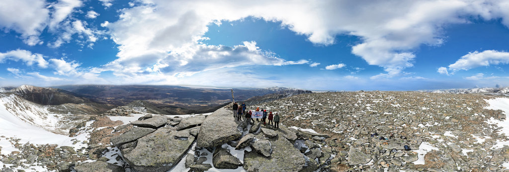
Highway 95 - Simee Dimeh Summit (aerial)
18800 x 9400
William L
Highway 230 - Foster Creek intersection (aerial)
18800 x 9400
William L
Highway 20 - Sheep Creek Bridge (aerial)
18800 x 9400
William L
Highway 20 - The Hill (aerial)[1]
18800 x 9400
William L
Highway 20 - The Hill (aerial)[2]
18800 x 9400
William L
Highway 82 - Grottos Ice Cave (aerial)
18800 x 9400
← Previous
-
1
-
2
-
…
-
15
-
16
-
17
-
18
-
19
-
20
-
21
-
22
-
23
-
…
-
416
-
417
-
Next →
Cookies help us deliver great service to you. By using this site, you agree to the use of cookies.
OK
Leave this Site