In The Middle of Silk Way
Panorama of Uzbekistan and Turkmenistan
The Silk Road was a network of trade routes which connected the East and West, and was central to the economic, cultural, political, and religious interactions between these regions from the 2nd century BCE to the 18th century. The Silk Road primarily refers to the land routes connecting East Asia and Southeast Asia with South Asia, Persia, the Arabian Peninsula, East Africa and Southern Europe.
The Silk Road derives its name from the lucrative trade in silk carried out along its length, beginning in the Han dynasty in China (207 BCE–220 CE). The Han dynasty expanded the Central Asian section of the trade routes around 114 BCE through the missions and explorations of the Chinese imperial envoy Zhang Qian, as well as several military conquests. The Chinese took great interest in the security of their trade products, and extended the Great Wall of China to ensure the protection of the trade route.
The Silk Road trade played a significant role in the development of the civilizations of China, Korea, Japan, the Indian subcontinent, Iran, Europe, the Horn of Africa and Arabia, opening long-distance political and economic relations between the civilizations. Though silk was the major trade item exported from China, many other goods and ideas were exchanged, including religions (especially Buddhism), syncretic philosophies, sciences, and technologies like paper and gunpowder. So in addition to economic trade, the Silk Road was a route for cultural trade among the civilizations along its network. Diseases, most notably plague, also spread along the Silk Road.
In June 2014, UNESCO designated the Chang'an-Tianshan corridor of the Silk Road as a World Heritage Site. The Indian portion is on the tentative site list.
https://en.wikipedia.org/wiki/Silk_Road
photo: Zeiss Loxia 21mm
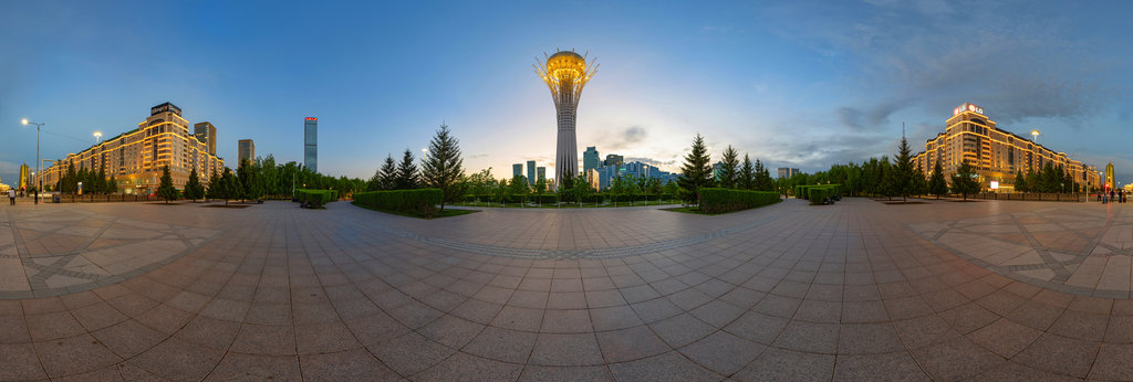
Baiterek is a monument and observation tower in Astana, the capital city of Kazakhstan. A tourist attraction popular with foreign visitors and Kazakhs, it is emblematic of the city, which became capital of the country in 1997. The tower is located...
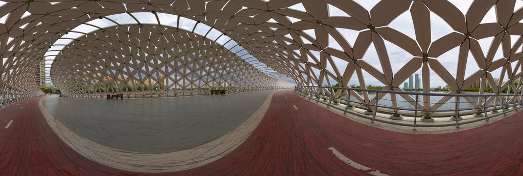
The Atyrau Bridge is an iconic pedestrian and bicycle bridge located in Astana, Kazakhstan, designed by New Moon Architects and featuring a parametric design. It connects the central park area with the right bank of the ISIL River.photo: Sony 16mm...
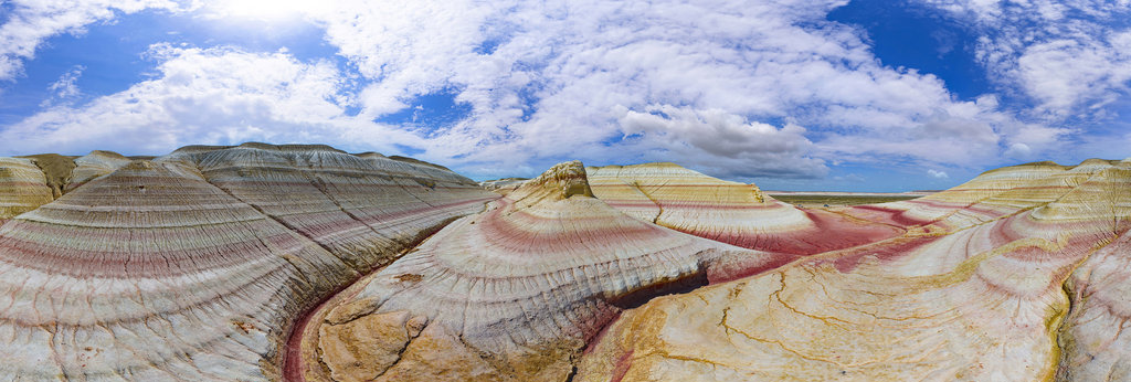
The Kyzylkup Tract is one of the most spectacular geological attractions in the Mangystau region of western Kazakhstan. This area is world-famous, nicknamed "Tiramisu Mountains" due to its distinctive striated hills, reminiscent of the layers of t...
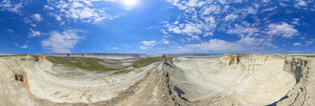
Bozzhira Canyon is a spectacular geological depression located on the Ustyurt Plateau, in the remote Mangystau region of Kazakhstan. This surreal, Martian-like landscape, characterized by towering white chalk cliffs and limestone spires, is the bo...
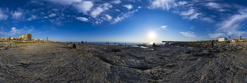
Aktau is a port city located in the far southwestern part of Kazakhstan, overlooking the eastern coast of the Caspian Sea. Founded in 1961 during the Soviet era under the name Shevchenko, the city was initially built to house workers connected to ...
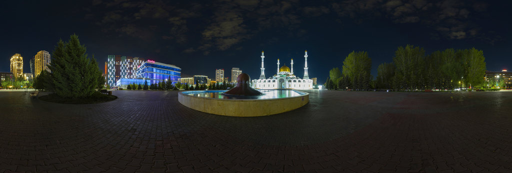
The Nur-Astana Mosque (Kazakh: Nur-Astana meshiti/Нұр-Астана мешіті; Russian: Мечеть «Нур Астана»), is a mosque in Astana, Kazakhstan. It is third largest mosque in Central Asia. The 40-meter (131-foot) height symbolizes the age of the Islamic pro...
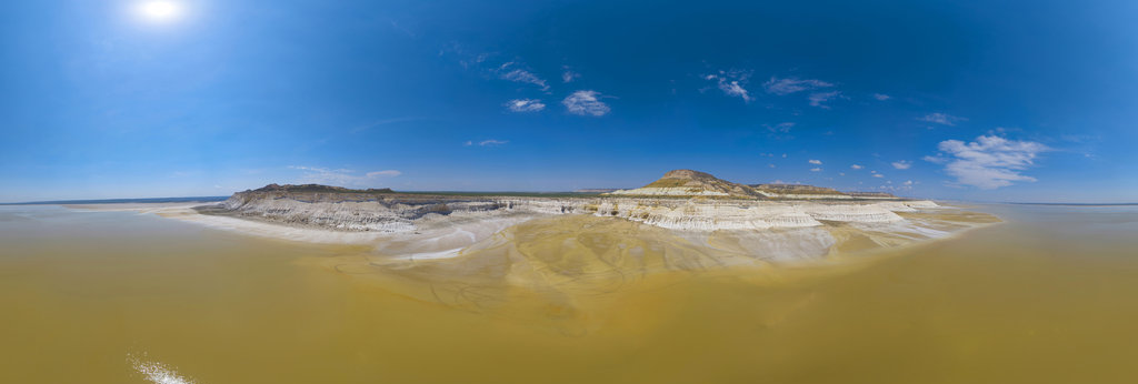
Sor Tuzbair is a spectacular salt marsh located in the semi-arid Mangystau region of southwestern Kazakhstan. Often compared to the famous Salar de Uyuni in Bolivia, this immense salt flat stretches across the foothills of the Ustyurt Plateau, off...
Bozzhira Canyon is a spectacular geological depression located on the Ustyurt Plateau, in the remote Mangystau region of Kazakhstan. This surreal, Martian-like landscape, characterized by towering white chalk cliffs and limestone spires, is the bo...
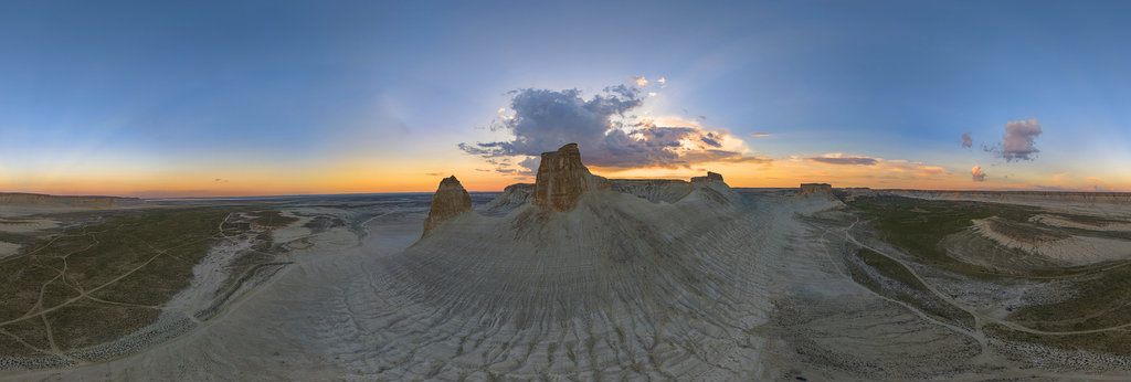
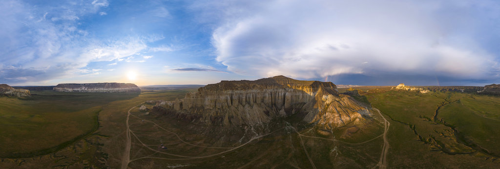
The Airakty Valley of Castles, located in Kazakhstan's remote Mangystau region, is a stunning landscape of isolated limestone mountains carved by wind and rain into formations resembling ancient, fortified fortresses. The name was poetically coine...
The Bibi Khanym mausoleum is a Samarkand mausoleum in Uzbekistan. It dates back to the 14th century and was restored in 2007. Inside are the tombs of Bibi Khanum and other family members.https://it.wikipedia.org/wiki/Mausoleo_di_Bibi-Khanymphoto: ...
One of the famous holy places in Uzbekistan is found 40 km to the south-west from Samarkand, in the Aksay village territory. It is the Cave of Hazrat Daud (St. David), worshipped in three world’s religions. The cave is wrapped in a shroud of many ...
The Registan was the heart of the ancient city of Samarkand of the Timurid dynasty, now in Uzbekistan. The name Rēgistan (ریگستان) means "Sandy place" or "desert" in Persian.The Registan was a public square, where people gathered to hear royal pro...
Among Shakhrisabz’s grand palaces and memorial complexes, right from an orchard, rises the blue dome of Kok-Gumbaz Mosque. It is seen from almost any part of the city because of its location and size, so the dome of Kok-Gumbaz is an indispensable ...
The Ulugh Beg Madrasa (Uzbek: Ulugʻbek madrasasi) is a religious educational institution in Samarkand, Uzbekistan. It was built by Ulugh Beg during the Timurid dynasty at the Registan in the heart of the ancient city of Samarkand. The madrasa was ...
The Ship Graveyard in the middle of the Uzbekistan desert.Formerly the fourth largest lame in the world with an area of 68,000 km² (26,300 sq mi), the Aral Sea has been shrinking since the 1960s after the rivers that fed it were diverted by Soviet...